Note
Click here to download the full example code
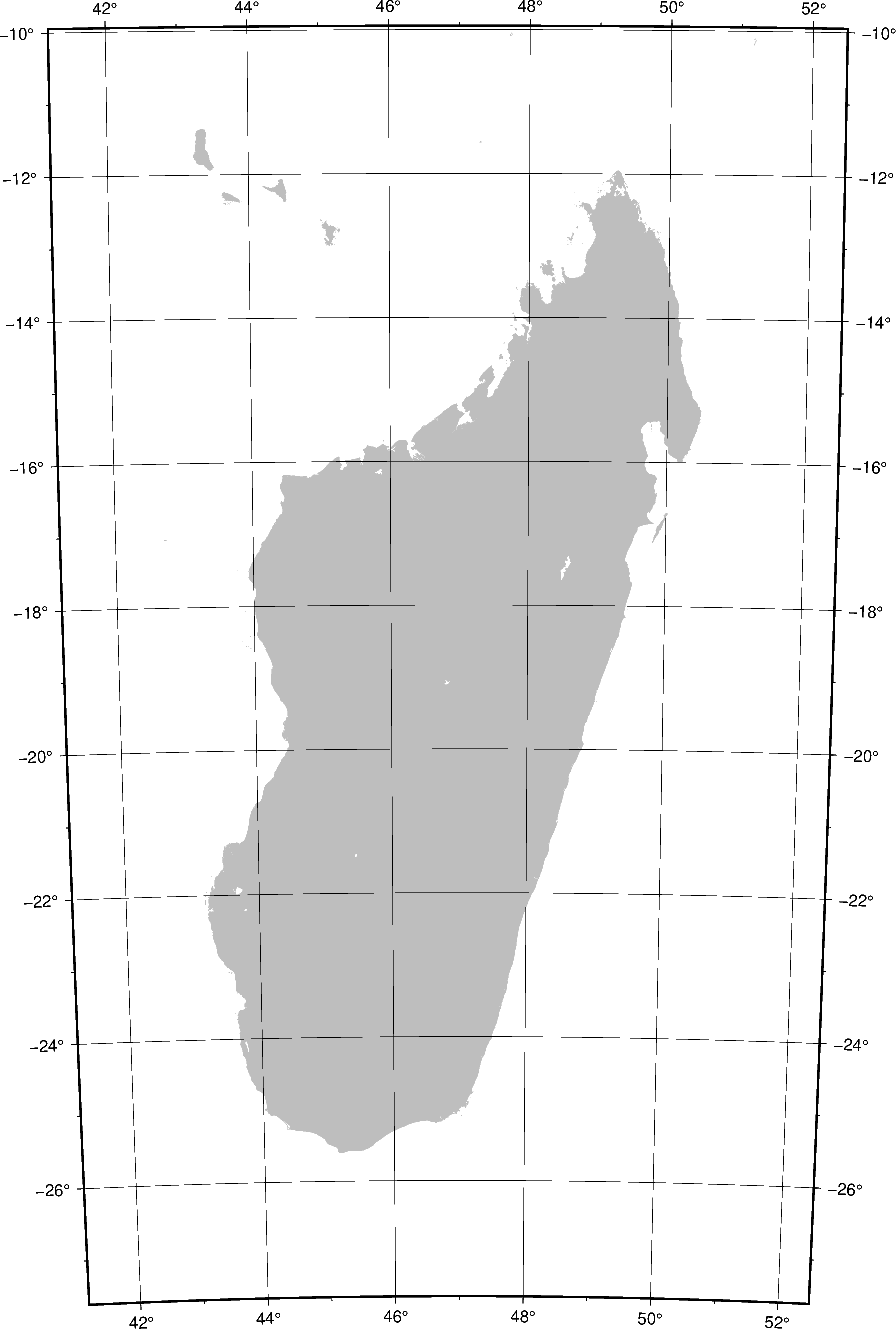
Cassini Cylindrical
This cylindrical projection was developed in 1745 by César-François Cassini de Thury for the survey of France. It is occasionally called Cassini-Soldner since the latter provided the more accurate mathematical analysis that led to the development of the ellipsoidal formulae. The projection is neither conformal nor equal-area, and behaves as a compromise between the two end-members. The distortion is zero along the central meridian. It is best suited for mapping regions of north-south extent. The central meridian, each meridian 90° away, and equator are straight lines; all other meridians and parallels are complex curves.
Clon0/lat0/width: lon0 and lat0 specifies the projection center.
Out:
<IPython.core.display.Image object>
import pygmt

fig = pygmt.Figure()
# Use the ISO code for Madagascar (MG) and pad it by 2 degrees (+R2)
fig.coast(projection="C47/-19/8i", region="MG+R2", frame="afg", land="gray", borders=1)
fig.show()
Total running time of the script: ( 0 minutes 1.588 seconds)